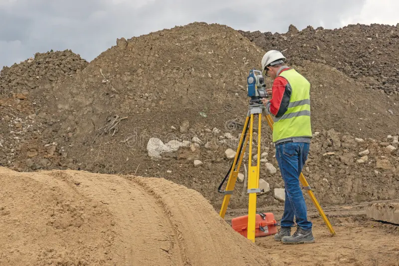
By civilcongroup 23 Apr 24 Service No Comments A topographic survey is used to map the natural and man-made features of land. It provides accurate data about elevation, contours, and structures on the site. Key Features: Land elevation mapping Boundary identification Terrain analysis Why it matters: Helps in project planning Avoids design errors Improves construction accuracy Where it is used: Road construction Infrastructure projects Real estate development Service Share


")