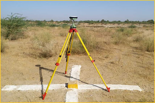
By civilcongroup 23 Apr 24 Service No Comments DGPS (Differential Global Positioning System) survey is an advanced technique used to get highly accurate location data. It is widely used in infrastructure and mapping projects. Advantages High accuracy (cm-level)Fast data collectionReliable results Applications Highway projectsLand surveyingGIS mapping Why choose DGPS? Reduces human errorImproves project efficiencySaves time and cost Service Share


")