


Site Assessment & Planning
We begin by understanding project requirements, site conditions, and survey objectives to plan the most effective survey strategy.


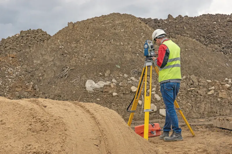
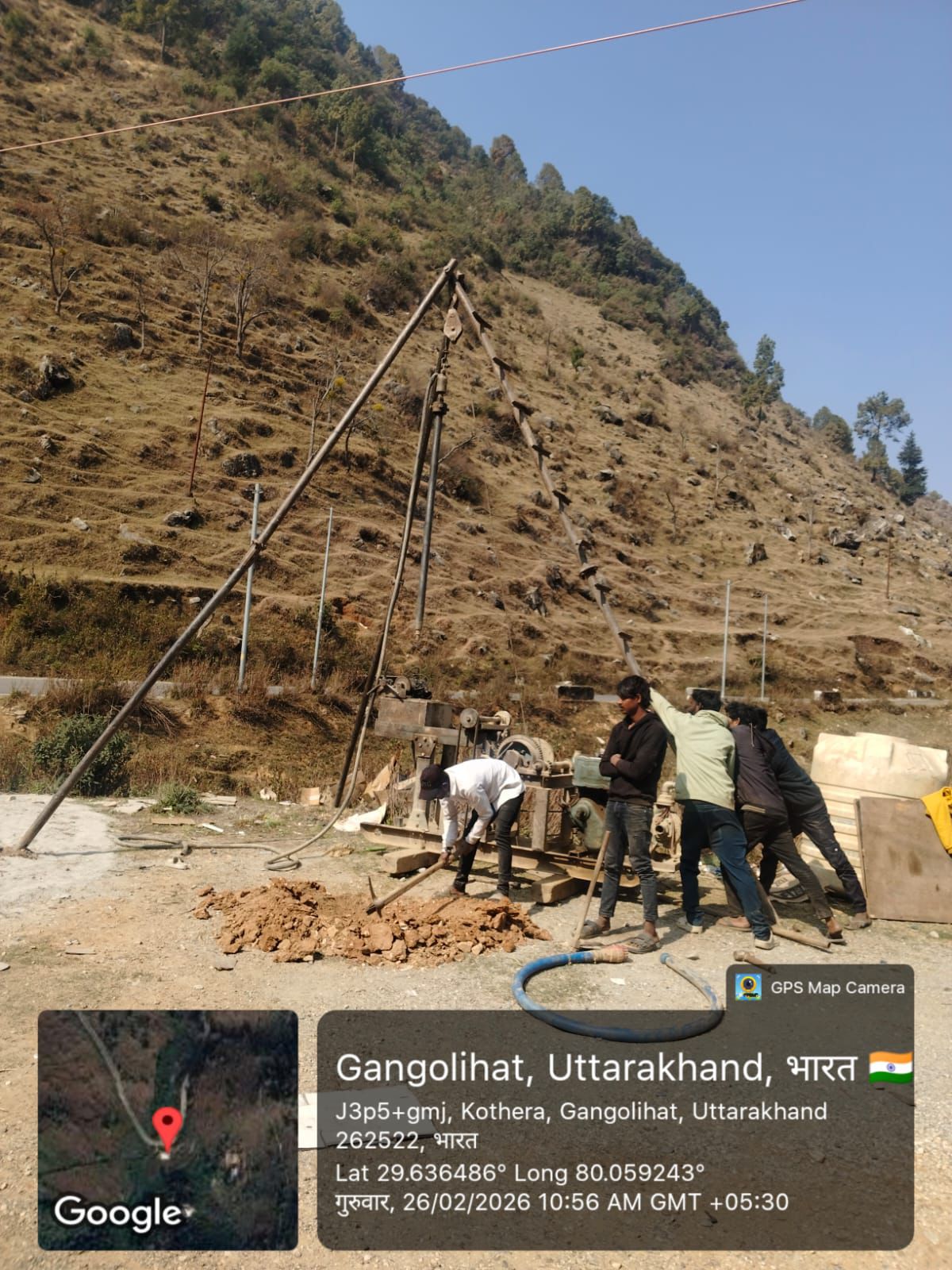
Field Survey & Data Collection
Our team uses advanced surveying instruments to collect accurate ground measurements, elevations, contours, and site features.


Data Processing & Mapping
Collected field data is processed to create detailed topographic maps, contour drawings, and digital survey models.


Survey Reports & Project Support
We deliver clear survey reports and mapping data to support engineers, architects, and planners in making informed project decisions.